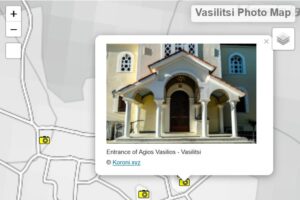
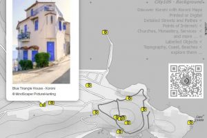
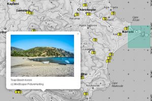
Photomaps are interactive maps, where the position of an object in the photos or the capturing position are symboled in the map (geolocated/geotagged) and by clicking it, the photo is shown.
We use cookies to ensure that we give you the best experience on our website. If you continue to use this site we will assume that you are happy with it.Ok