Cape Akritas – Southest Mainland Point of Messinia & Selitsa Outback
Akritas Map
The
Akritas & Selitsa area is about the Triangle with the south corner of Cape Akritas, in the west lies
Tsapi and in the east the Beach Kalamaki.
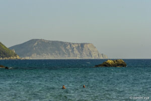
Cape Akritas is the southiest mainland point of Messinia and the most western finger of PeloponneseEuropean NATURA 2000 network of nature protection areas Church Agios Ioannis Selitsa Beach Venetiko Vasilitsi
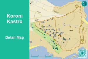
Cape Akritas, Selitsa & Vasilitsi on
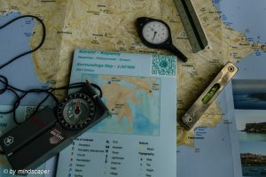
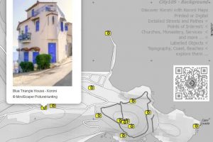
Koroni Maps – Printed or Digital
To see the full size images, you need to enable JavaScript in your browser.
- if the map doesn't show properly, please pan the map or resize the browser window -
- if the map doesn't show properly, please pan the map or resize the browser window -
- if the map doesn't show properly, please pan the map or resize the browser window -
- if the map doesn't show properly, please pan the map or resize the browser window -
- if the map doesn't show properly, please pan the map or resize the browser window -
- if the map doesn't show properly, please pan the map or resize the browser window -
- if the map doesn't show properly, please pan the map or resize the browser window -
- if the map doesn't show properly, please pan the map or resize the browser window -
- if the map doesn't show properly, please pan the map or resize the browser window -
- if the map doesn't show properly, please pan the map or resize the browser window -
- if the map doesn't show properly, please pan the map or resize the browser window -
- if the map doesn't show properly, please pan the map or resize the browser window -
How to reach Cape Aktritas & Selitsa
last revised: 27.03.2026
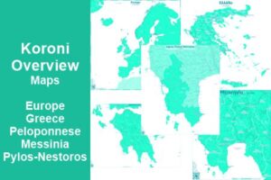
Koroni & Surroundings Maps
Discover Koroni Surroundings
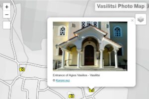
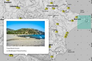
Koroni Photo Maps