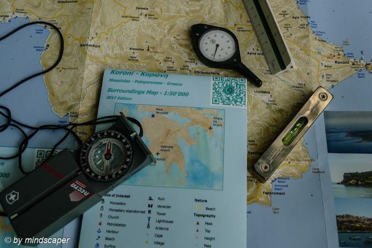
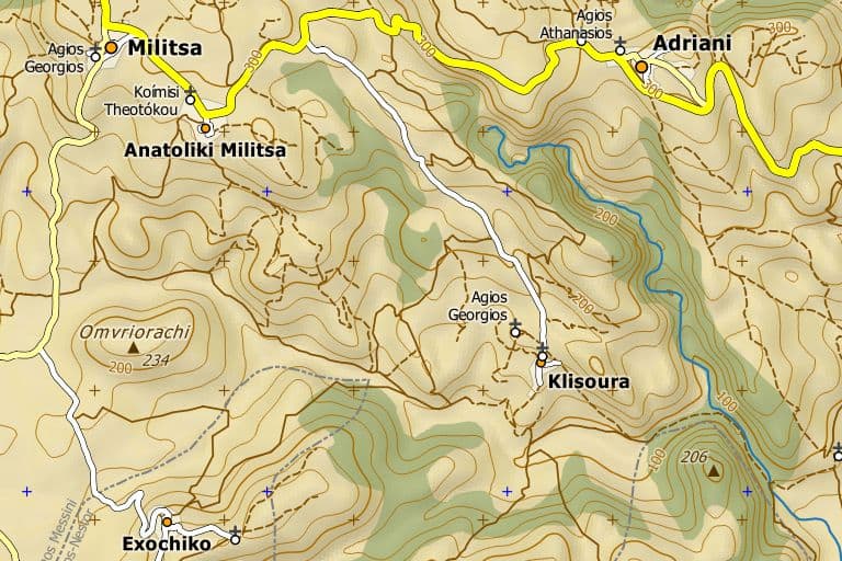
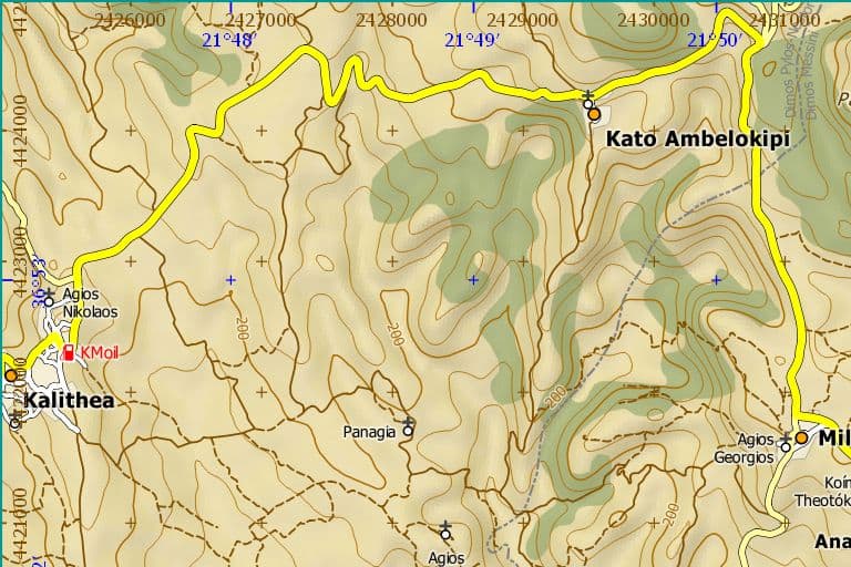
Koroni Surroundings Map
- The Koroni Surroundings Map includes the full Area of former Dimos Koronis.
- Much topographic information including terrain like contour lines and shaded relief.
- The map is optimized for Outdoor Activities like Hiking or Bicycling, or just for knowing Koroni & Surroundings better.
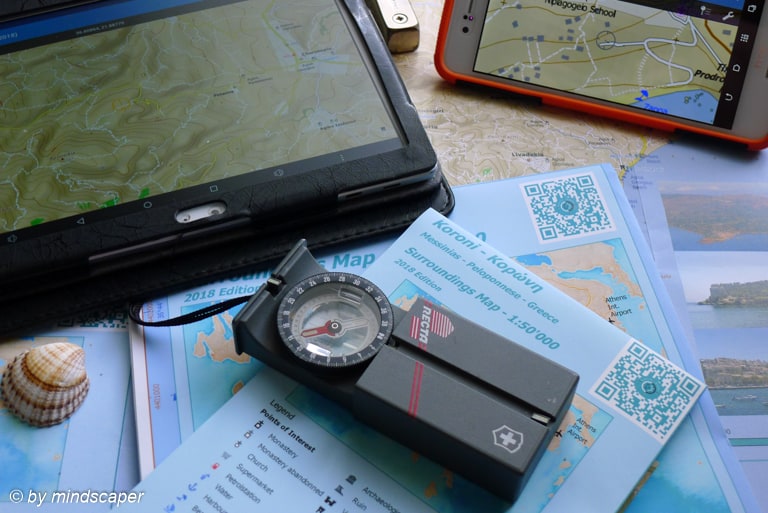
- The Surroundings Map is available printed or digital.
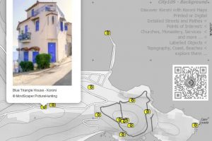
- The digital map is designed for offline usage and various functions like showing your GPS Position, GPS tracking, adding Points of Interests & geotagged Photos.

Map News
12.08.2025 - New: Akritas Map (Island50)
Cape Akritas - Venetiko - Egg Island
07.08.2025 - Map Release V4 2025 Completed
Topo25 with cartographical improvements
01.08.2025 - New Overview Map
Pylos-Nestoros
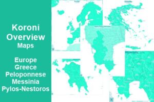
25.07.2025 - New Overview Maps
Messinia, Peloponnese, Greece, Europe
29.05.2025 - Koroni Maps - All Maps Updated 2021 > 2025
Big new Release: Surroundings Map - New City Map Akritochori
13.05.2025: Koroni Topo25, Koroni City 10S and Koroni Kastro Map UPDATED
=> EDITION 2025 now DIGITAL available
14.04.2021: Update of all maps on same actuality
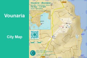
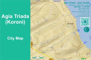
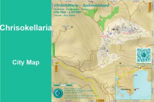
18.02.2021: New City Maps: Charokopio, Chrisokellaria, Vounaria, Agia Triada
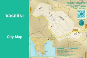
09.02.2021: Vasilitsi City Map is available digitally
04.02.2021: Koroni Surroundings Map update: edition 2021 available

Map Features
Map Content
- Extent: Area of former Dimos Koroni – “Koroni Surroundings“
- E-W: Koroni – Finikounda
- N-S: Episkopi, Paneika – Venetiko Island
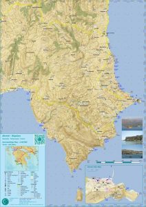
Koroni Topo50 2018 Overview
- Topography
- Relief with 20m equidistant contour lines
- Peaks
- Capes
- Heights
- Shaded Relief
- …
- Detailed Roads, Tracks, Pathes
- Sightseeing Objects (Kastro, Monasteries, Churches, Archaeological Sites …)
(more details than other maps (e,g, roads, pathes, churches, water spots))- 4 Monasteries (3 abandonned)
- more than 100 Churches
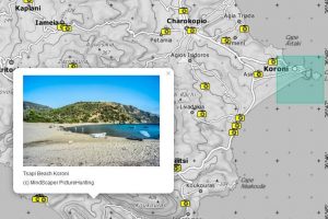
- 33 Beaches
- Settlements: 55 Villages and Hamlets
- 9 Historical Places
- & more
- see Map Legend (content & symbols) below
Map Infos
- including “City Map of Koroni 1:10’000”
- ideal for Koronians, Tourists, Holiday Guests, Mountain Bikers, Hikers, Map Lovers
- All Points of Interest approved
- Made by a Professional knowing this area since more than 40 years
- Coordinates: WGS 84 (GPS) and Kilometer-Grid
- the Surroundings map is availabe printed or digital
- Topo50: Print A2 – 420 x 594 mm
- folded (13×21 cm)
- unfolded
- Topo25: Digital (A0)
- Topo50: Print A2 – 420 x 594 mm
- see also Koroni Maps – Printed or Digital
Map Documentation


| Name | Sample | Info |
|---|---|---|
| Pois | ||
| City |  | |
| Village |  | |
| Hamlet | ||
| Monastery |  | |
| Monastery Abandonned | 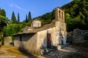 | |
| Church |  | |
| Beach | 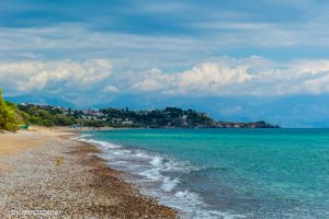 | |
| Harbour | 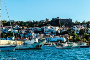 | |
| Lighthouse/ Navigational Light | 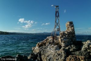 | |
| Archaeological Site | 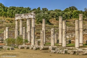 | |
| Kastro | 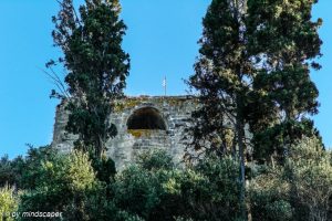 | |
| Tower | 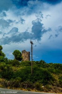 | |
| Ruin | ||
| Windmill | 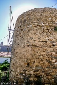 | |
| Antenna | ||
| Camping | ||
| Surfing | ||
| Football | ||
| Petrolstation |  | |
| Taverna |  | |
| Supermarket |  | |
| Water Point | 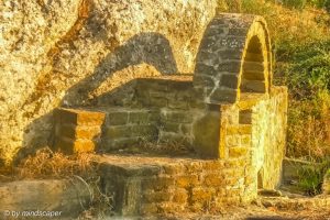 | |
| Roads | ||
| Regional Road |  | |
| Connection Road |  | |
| Local Road |  | |
| Solid Unpaved Track | 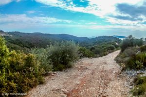 | normally passable by car |
| Unpaved Track | 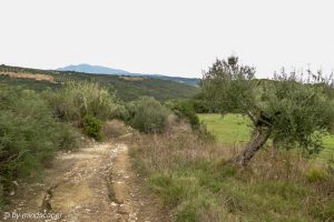 | |
| Steps | 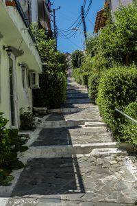 | |
| Path | 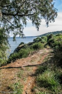 | |
| Landuse | ||
| Forest | ||
| Orchard | ||
| Residential | ||
| Buildings | ||
| Beach | | |
| Sea | ||
| Waterway | ||
| Topography | ||
| Cape |  | |
| last update: 29.07.2018 |
| Map Content | Topo25 | Topo50 | City10S |
|---|---|---|---|
| Map Extent | Former Dimos Koroni
| similar to Topo25 | Koroni City |
| Map Symbols | 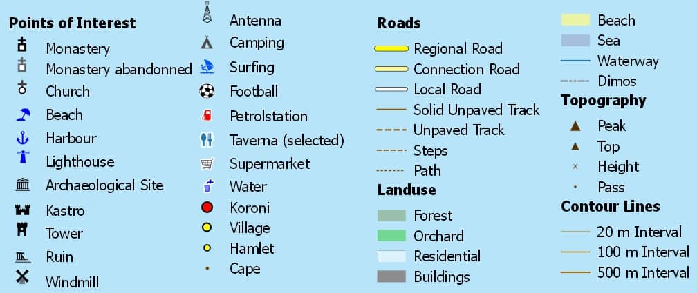 | 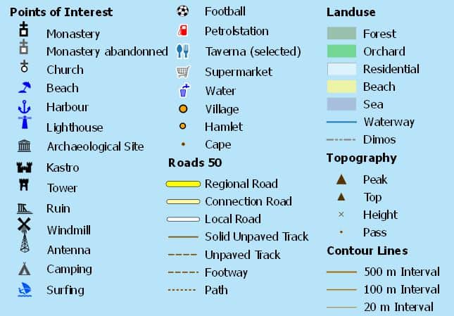 | Similar to Topo25 Additional: see below |
| Houses | as already captured | - | as already captured |
| Places | City (Koroni) Villages Hamlets #55 | City (Koroni) Villages Hamlets | |
| Worship | Churches >#110 Monasteries #4 (3 abandonned) mostly all labelled | some less than Topo25, not all labelled | |
| Roads | most detailled | same categories as Topo25, less detailed | like Topo25, additional eg. stairs, more City pathes |
| Beaches | #33 | ||
| Special | Selected Tavernas in the Surroundings Drinkwater Points large Supermarkets Football | Selected Tavernas in the Sorroundings Drinkwater Points large Supermarkets Football | Police, Pharmacy, Doctors, some Hotels |
| Tourism | Petrol Station Camping Surfing | Petrol Station Camping Surfing | |
| Historical | Archaeological Sites Kastro Tower Ruin Windmill | Archaeological Sites Kastro Tower Ruin Windmill | |
| more | Harbour Navigational Lights Antennas | Harbour Navigational Lights Antennas | |
| Topography | Capes Peaks Pass Heights 20m Contourlines some Waterways | Capes Peaks Pass Heights 20m Contourlines some Waterways | |
| Landuse | Residential Forest Orchard Beach Sea | Residential Forest Orchard Beach Sea | |
| Coordinates | local Coordinates (Pseudo Mercator) with 1'000m Grid WGS84 (GPS) 1'00" Grid | local Coordinates (Pseudo Mercator) with 1'000m Grid WGS84 (GPS) 1'00" Grid |
Koroni Maps Overview
| Map | Type | Size | Print !!! currently not available !!! | Digital | Digital Bundle [Topo25+ City10+Kastro] | Digital Bundle [City10+ Kastro] | Digital Bundle [Koroni Set All - Topo25 + Villages + City + Kastro] | Digital Bundle [Koroni Set - Village Maps] | Actuality |
|---|---|---|---|---|---|---|---|---|---|
| Koroni Surroundings Map 1:25'000 | Topo25 | A0 | Special | [Topo25] | X | X | August 2025 | ||
| Koroni Surroundings Map 1:50'000 | Topo50 | A2 | [Details] [request form] | . | May 2025 | ||||
| Koroni City 1:10'000 | City10 | on Topo25 or Topo50 | [City10S] | X | X | X | May 2025 | ||
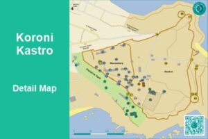
| Koroni Kastro 1:2'500 | Kastro | A4 | - | [Kastro] | X | X | X | May 2025 | |
| Vasilitsi City 1:5'000 | City5S | - | [Vasilitsi City5S] | X | X | May 2025 | |||
| Vounaria City 1:10'000 | City10S | [Vounaria City10S] | X | X | May 2025 | ||||
| Chrisokellaria City 1:10'000 | City10S | [Chrisokellaria City10S] | X | X | May 2025 | ||||
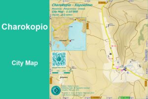
| Charokopio City 1:10'000 | City10S | [Charokopio City10S] | X | X | May 2025 | ||||
| Agia Triada (Koroni) City 1:10'000 | City10S | [Agia Triada (Koroni) City10S] | X | X | May 2025 | ||||
| Akritochori City 1:10'000 | City10S | [Akritochori City10S] | X | X | May 2025 NEW |
||||
| Akritas 1:50'000 | Island50 | [Akritas (Island50)] | May 2025 NEW |
Getting the Maps
Get the digital Koroni Surroundings Map
Get them online or within the Map App:
- Stefanos Maps Corner (Map Maker) at Avenza
- Koroni Maps at Avenza Map Store (Alternate way to same conditions)
- at Avenza Map Store within the
 Avenza Maps App for Android or IOS
Digital Koroni Maps may get Updates without or with Fee, depending the age of the map or major map improvements.
Some maps are free.
Thank you for using Koroni Maps.
Get the printed Koroni Surroundings Map
Printed Koroni Maps are available.
- Topo50, folded, Actuality 2025..
Get them in Koroni. Ask at
- Koroni Tourist Shops
- Koroni Book Store
- Tourist Services
Thank you for using Koroni Maps.
Get in Contact
Available Koroni Maps


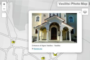
Koroni Photo Maps
last revised: 27. June 2026
published: 24. January 2017