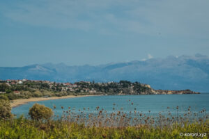
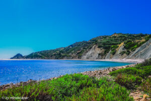
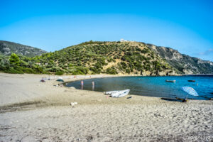
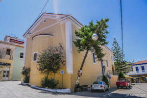
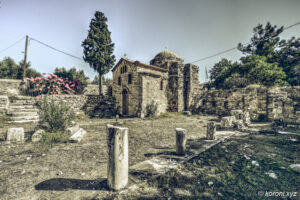
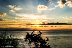
Tsapi – Beach and Hamlet

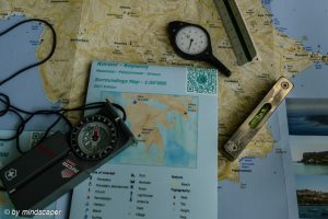
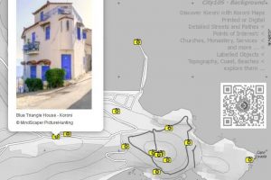
Tsapi on Koroni Maps – Printed or Digital


Tsapi Related Info


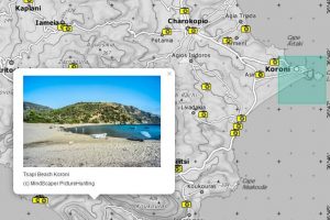
Tsapi on the Map
There is no public traffic to Tsapi.
You reach Tsapi by car easiest via the main road Koroni-Vasilitsi-Methoni. After 7 km you pass the village of Vasilitsi with its center on the right. Some later, you pass the abandonned Monastery of Chrisokellaria. Short before reaching the highest point of the route (405m above sea), there is the crossing to Chrisokellaria. Shortly after the top you may enjoy the beautiful view to Finikounda and Methoni as well as the Islands of Schiza and Sapienza. Not far from the pass, you reach the signed crossing to Tsapi (turning to the left). You follow the curvy, but now well constructed road of about 7 km and reach Tsapi. Yau can use the parking of the camping site.
In all, it takes about 20 km from Koroni.
Koroni & Surroundings Maps

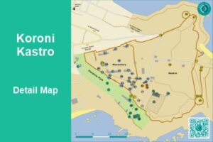
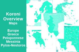
Discover Koroni Surroundings
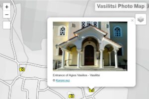

Koroni Photo Maps
last update: 31. March 2026
published: 12. January 2019