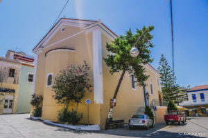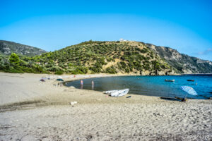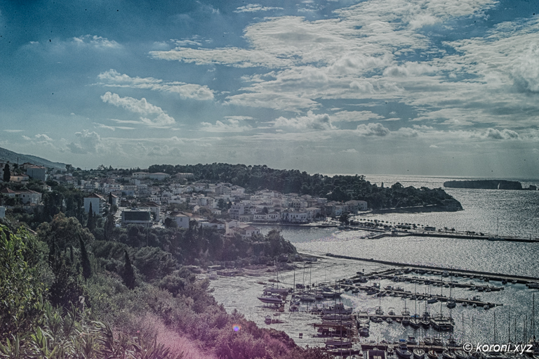
Pylos – The Town at the Navarino Bay in Messinia

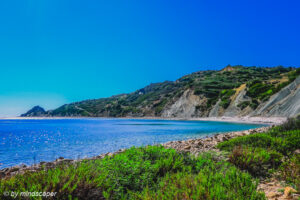
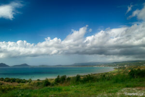
Pylos with Harbour at South of Navarino Bay & Tsichli-Baba Islet
The nowadays Pylos was founded in 1830 outside the Pylos Fortress of Niokastro.
But Pylos has a long history in the acient ages with different locations (e.g. Paliokastro or Nestor’s Palace). Pylos is already mentioned in Homer’s Odyssey and Iliad.
Since 2011 due to the Kallikratis Reform 2010, Pylos got the administrational seat of the municipality Dimos Pylos-Nestoros.
Pylos was historically also known as Navarino.


About Pylos
Some Facs About Pylos
- Pylos is located in the south of Navarino Bay in the southwest coast of Messinia in southwest of Peloponnese
- it has a long history
- Pylos is already mentioned in Homer’s Odyssey and Iliad
- in the Kallikratis Reform 2010, Pylos got the administrational seat of the municipality Dimos Pylos-Nestoros; also former Dimos Koroni was integrated.
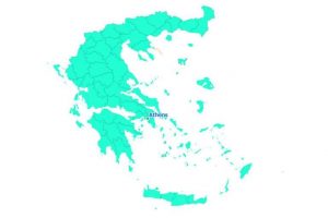
Dimos Pylos-Nestoros (Kallikratis) Map
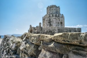
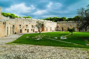
- Niokastro Fortress
- Paliokastro Fortress
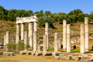
- Nestor’s Palace
- Navarino Bay
- Gialova Lagoon
- Voidokilia Bay
- …
more to Explore and Know in Pylos & Navarino Area
Pylos, Navarino Bay & Surroundings on Koroni Maps – Printed or Digital


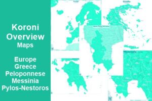
- Overview Maps (Koroni Map Series) (Messinia, Peloponnese, Greece)
- Dimos Pylos-Nestoros (Kallikratis) Map
How to reach Pylos from Koroni
get Messinia Map
There are two Routes to reach Pylos from Koroni:
- South Route via Vasilitsi – Finikounda – Methoni
ca. 41 km – from Koroni til Methoni it is a Secondary (Provincial) Road Route, wide and marked with 2 lanes. From Methoni to Pylos it is Primary (National) Road E09, but small and not marked with 2 lanes.
There is a pass up to 405 m between Vasilitsi & Finikounda - Land Route via Charokopio – Longa – Kallithea
ca. 45 km – mostly all is a Secondary (Provincial) Road Route. The road towards Kalamata until Agios Andreas is with 2 lanes.
From Agios Andreas (turn to Longa), it is not markes as two lanes and partially very curvy.
From there to Adriani it mounts up to ca. 320 m and between Mititsa and Kato Ampelokipi it rises up to ca. 390 m, Kallithea is about 200 m
last revised: 09. March 2026
published: 09. March 2026